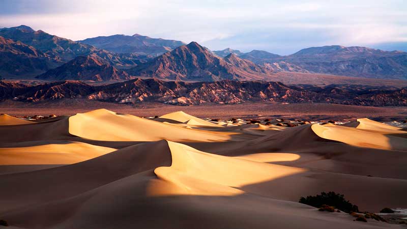
Located in the southcentral part of eastern California, along the border of California and Nevada the Death Valley National Park is a remarkable landscape with unmatched beauty, comprised of miles of huge sand dunes, multicoloured rocks, jaw-dropping peaks rising 11,000 feet above the neighbouring valley and endemic wildlife. Covering a huge area of 5,270 square miles (13,650 sq km) and consisting of Death Valley, portions of Panamint Valley in the north, Eureka Valley in the south, and much of Saline Valley, it is the largest national park in the contiguous United States and the hottest, driest and lowest of all the national parks in the country. Designated a national monument in 1933 and a national park in 1994, it contains Badwater Basin, the lowest elevation in North America, at 282 feet (86 m) below sea level and the second-lowest point in the Western Hemisphere. The stark depression of the elevation from 3,000 feet in the north to 282 feet below sea level contributes to the equally extreme temperatures in the valley, which can climb to a scorching 130°F during the summer days and dip down to below 0°F in the winter nights.

The striking landscape of the Death Valley National Park has long been the ancestral land to the Timbisha Shoshone Tribe, who lived in and around modern-day Death Valley, Ash Springs, the Inyo Mountains and other places in Mono County and the other neighbouring areas. However, the valley was named by one of the members of a group of European Americans, who were trapped and got lost in the valley in 1849. While looking for a shortcut to the gold fields of California, the group took a wrong way, which turned out to be a fictitious southern route through the incomparably hot and dry region. During the exhaustive journey one of them lost his life, but others were rescued.

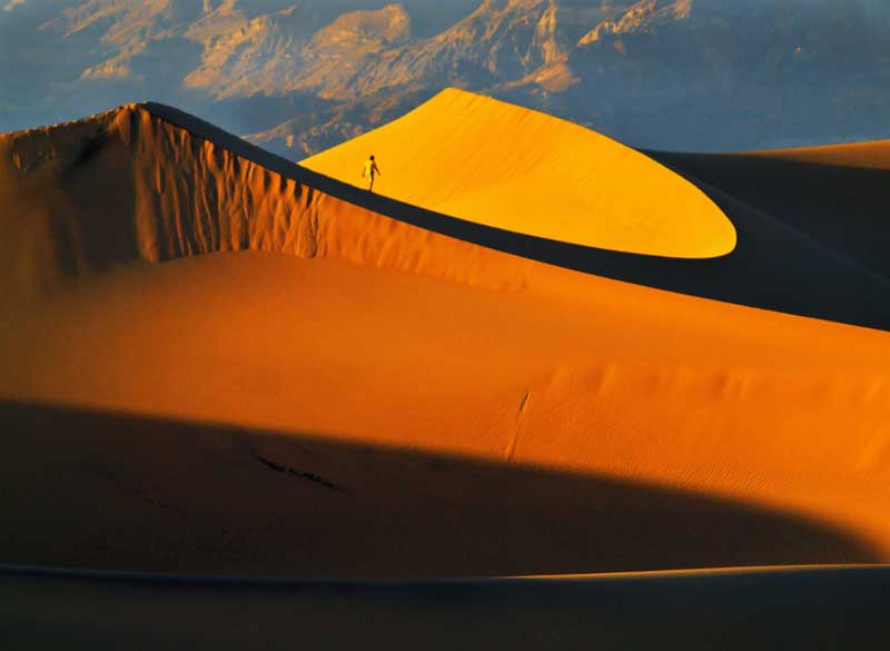
The arid but vibrant landscape of the Death Valley National Park is home to several unique landforms, which include five dune areas, among which the 680 feet (205 m) Eureka Sand Dunes are California’s tallest. The popular Racetrack Playa, located 3,714 feet (1,132 m) above sea level, features massive rocks weighing around 320 kg (700 pounds), which mysteriously slide across a flat area and travelled over 1,500 feet, before leaving its trail marks. It is widely believed that, as the clay surface became moist and slippery after precipitation, the rocks were swept down by the blowing wind. The northern section of the park is dotted with volcanic craters, which include the 700 feet (215 m) deep and 0.5 mile (0.8 km) wide massive Ubehebe Crater, formed about 2,100 years ago. The sheer size of the crater dwarfs visitors and provokes a feeling of wonder for nature’s power.

The Devils Golf Course, which got its name as only the devil could play golf on its surface, is a charming colourful landscape worn by wind and rain into beautiful jagged spires. The sculpted salt formations form a rugged terrain, which is dramatically delicate and seems to be unearthly. The odd beehive-like structures of the Charcoal Kilns, which stand 25 feet tall, are more remote than the more popular sites of the park, but are one of the unique attractions and best preserve the history of Death Valley in their walls. Built by American Indian, Hispanic and Chinese workers in 1877, the kilns provided a source of fuel for the use of the two smelters, located at the nearby lead-silver mines until 1900.

Other attractive spots in the park include the wonderful Mosaic Canyon, Salt Creek and towering Telescope Peak; as well as the Starvation Canyon, Dead Man Pass, Coffin Peak, Furnace Creek, with a population of just over 20 residents, blessed with an oasis that delivers shade through a neighboring date-palm grove and the Hell’s Gate, infamous for its strong currents and rocky reef, where hundreds had sunk, including the British ship Hussar in 1780, carrying a significant amount of silver and gold.

It is considered that probably about 50,000 years ago, Lake Manly, a body of water, filled the valley to a depth of as much as 600 feet (180 m) and more recently, some 2,000 to 5,000 years ago, a shallow lake occupied the floor of the valley, which evaporated, producing the present salt pan. However, although the absence of water is responsible to turn Death Valley into a desert, it is by no means devoid of life. It is one of the hottest and driest places in North America, but it is home to more than 1,000 species of plants, among which 23 are not found anywhere in the world. An abundance of vegetation is usually present outside the salt pan, where water is available. While Creosote bush dominates the gravel fan surfaces around most of the valley, higher elevations support juniper and piñon pine. Apart from that, when conditions are right, the hills and valleys comes alive with colour and life in the spring and explode into a carpet of gold or white, purple or pink flowers. Nevertheless, a rainstorm of a half inch or more is needed to wash away the salt from the floor of the valley and allow the wildflower seeds to sprout. The zones with water and the adjacent desert also support a variety of wildlife, which include mammals, reptiles, birds and even two species of native fish. Rabbits and several types of rodents, including antelope ground squirrels, kangaroo rats and desert wood rats are abundant in the valley, along with their predators like coyotes, kit foxes and bobcats. Small herds of bighorn sheep are most commonly found in the mountains surrounding Death Valley, but they rarely visit the valley floor.

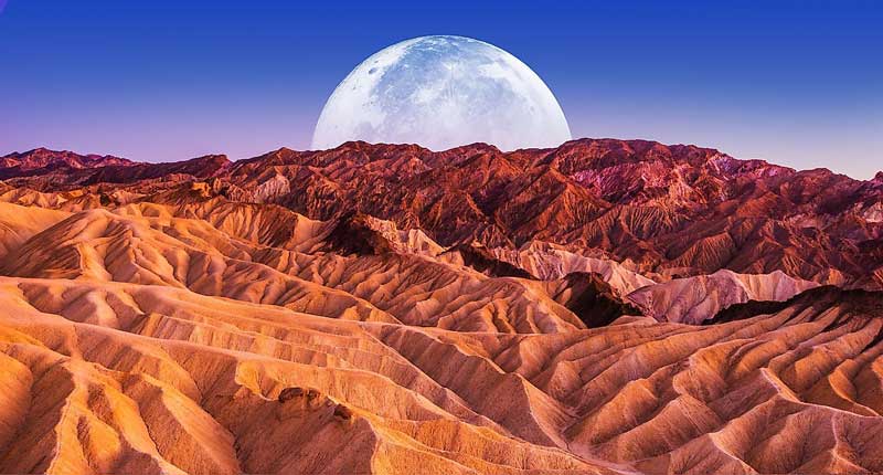
The huge area of Death Valley National Park, containing an amazing variety of terrain, breathtaking sites, plants and animals, also has some of the darkest night skies in the country and is a great place to simply gaze in awe at the expanse of the Milky Way, the brightness of the moon, track a meteor shower or simply reflect the vastness of the universe.